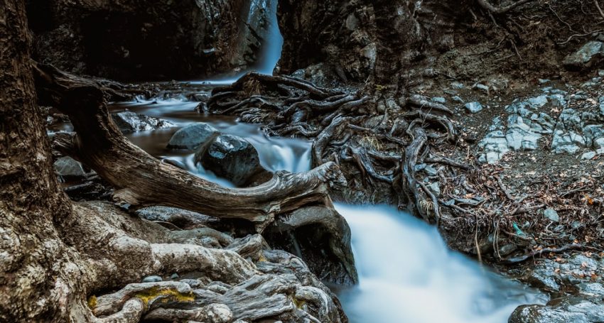
In the distant 1878 in the Cypriot mountains was a Scottish expedition. This area reminded the Scots of their native land, and they called the waterfall Caledonia, located near the mountain village of Platres. Caledonia is the Latin name of Scotland.
In fact, the mountain waterfall was known long before our era. According to extant chronicles, in ancient Rome, it was a wooded area, but the forest was later almost completely destroyed – trees were cut down to build houses and ships.
The waterfall of Caledonia is located high in the mountains, 2 km from the village of Pano Platres. The point of reference is the place located 3 km from the Troodos square. You can reach the waterfall by car or walk along a beautiful nature trail. The path takes from 1.5 to 2.5 hours, depending on the physical condition of people. The complexity is on the third level. The best time to visit is from March to October to November.
If you do not want to go on the not the easiest nature trail, you can “cut” the road and walk along the road that runs through the trout farms.
This path begins at a place called ‘Psilo Dendro’ (Psilo Dendro is a high tree in Greek).
The best choice of shoes is hiking boots.
The height of the waterfall is 12 meters. From April to June wild flowers grow around the waterfall, and it is truly an unforgettable sight! In the autumn months, you will find yourself in a thick golden and lumpy forest and maybe even find mushrooms.
Did you know that Caledonia’s waterfalls are ranked 14th among the best waterfalls in Europe by Business Insider?


